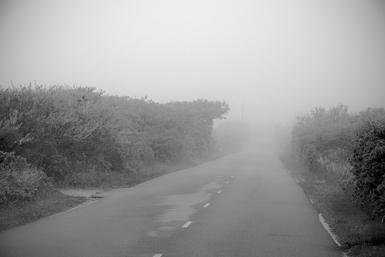
Going Back to Paradise
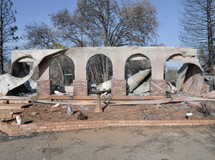
 Safeway Market on Skyway, Paradise
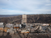
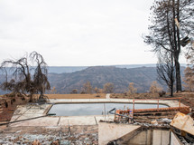
Last January I went to Paradise, CA and photographed three months after the Camp Fire devastated the whole town.
PBS Frontline has an episode on the fire: https://www.pbs.org/video/fire-in-paradise-ncamrn/
I am going back in early November. I want to see how it looks now, how much they are rebuilding, how much evidence remains. I also want to get a sense of whether people are returning or if they have left.
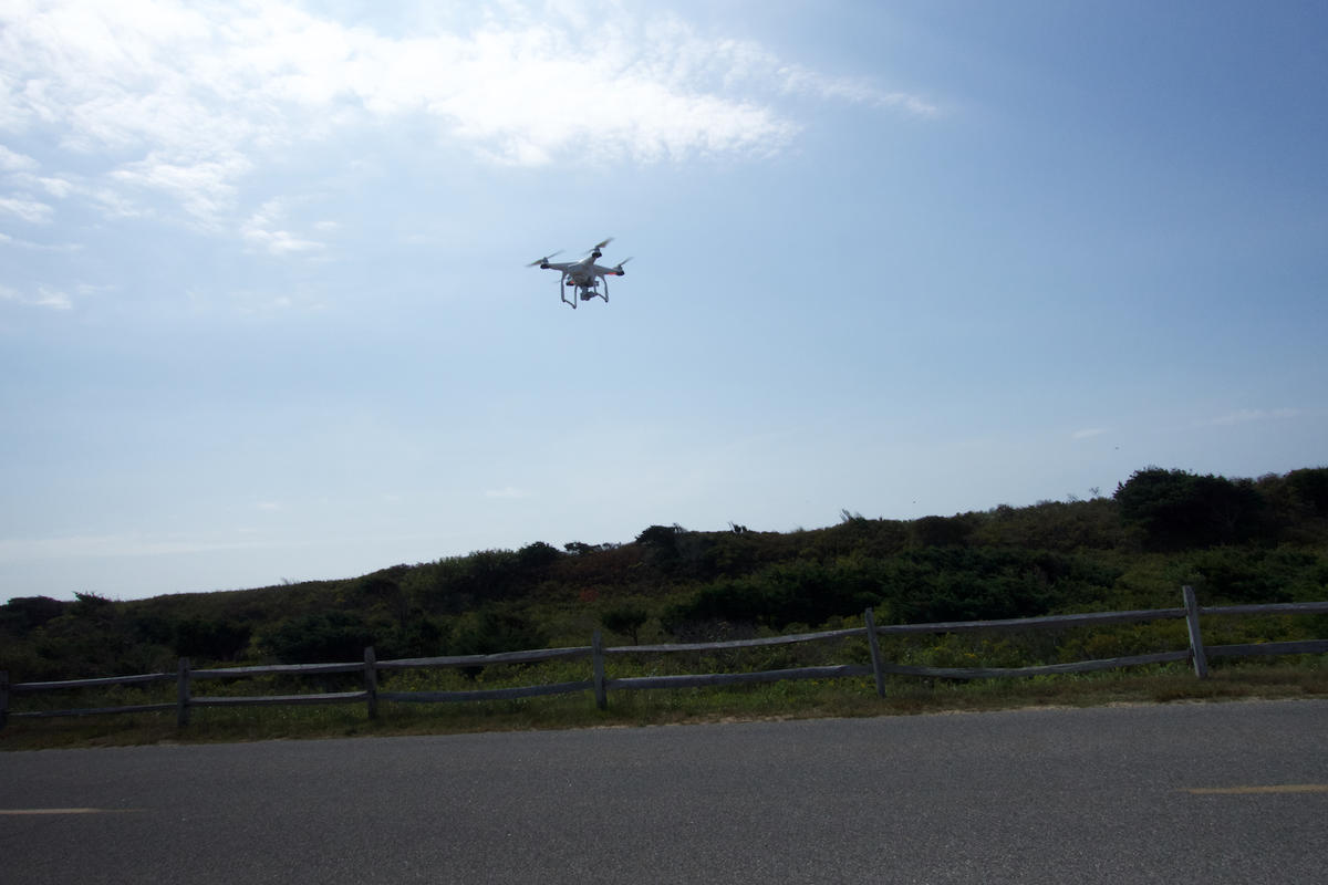
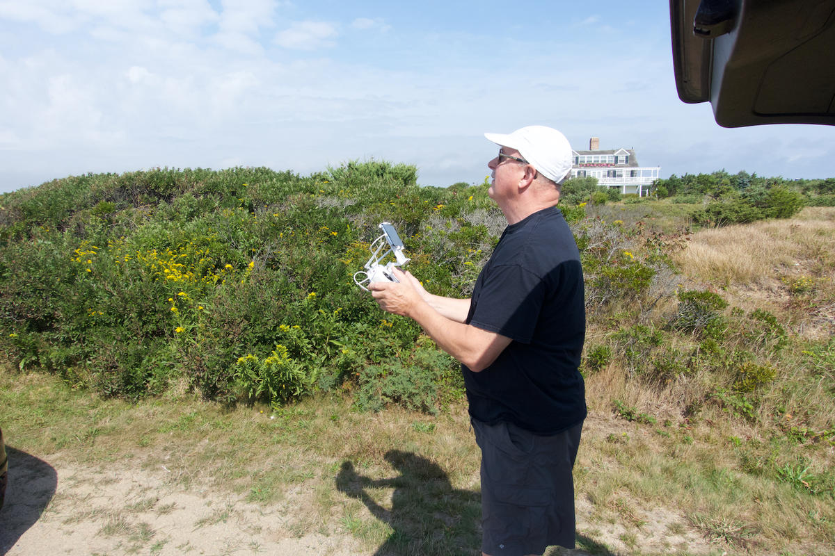
Last winter I photographed the town on the ground and from the air: here.
 85 people died from the Camp Fire in Paradise
I leave November 12 and will try to post to the blog during the trip. You can follow along by subscribing to the blog.
Stay tuned
Related series
Paradise California
Photographs from Paradise Caliornia two months after the Camp Fire devastated the town. Includes aerial photographs.
All photographs © 2019 Neal Rantoul. Photographs may not be used without express and written permission.
Neal Rantoul: nrantoul@comcast.net
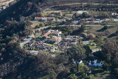
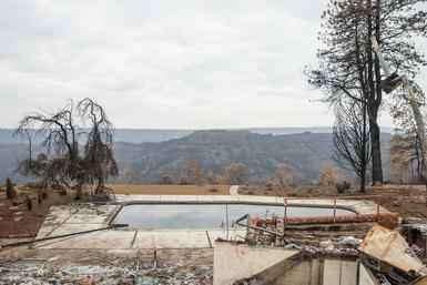
Fire Damage in Southern California
Note: This is a new edit and reflects the actual prints made from this flight.
The fires and subseqent mudslides were in December, 2017.
We flew from Santa Barbara down the coast past Montecito to Ventura, where most of these are from.
Th last few photographs are of Montecito, where there were massives mud slides.
My pictures were made in February, 2018
February, 2018
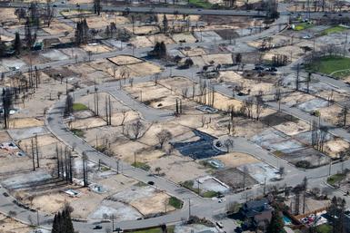
Fire Damage in Northern California
These pictures document the extensive damage to homes, lives, and terrain in the Santa Rosa area from the wildfires that devastated the area in the late fall of 2017.
Prints are 22 x 17 inches.
Reminder: All rights reserved. These are copyrighted photographs and may not be used or reproduced without express written consent of the photographer, me.
nrantoul@comcast.net
Related blog posts
Going to Paradise-Day 1
Going to Paradise-Day 2
Going to Paradise-Day 3 Beauty
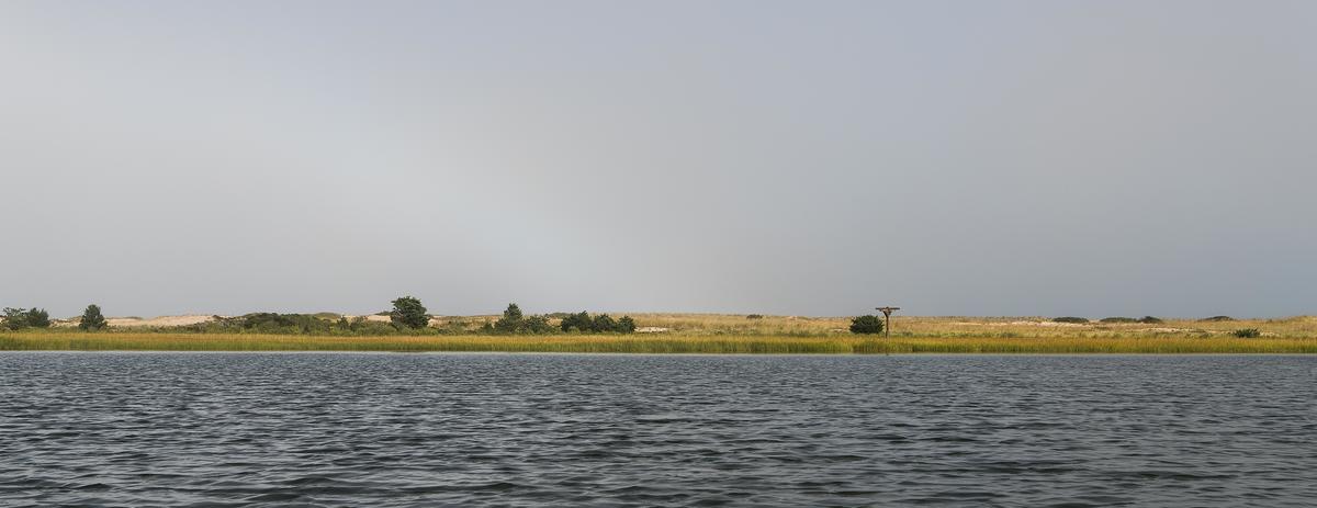
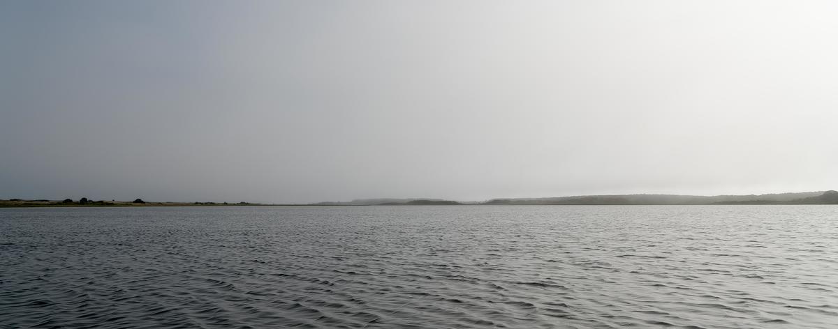

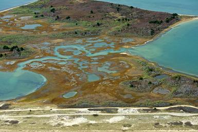
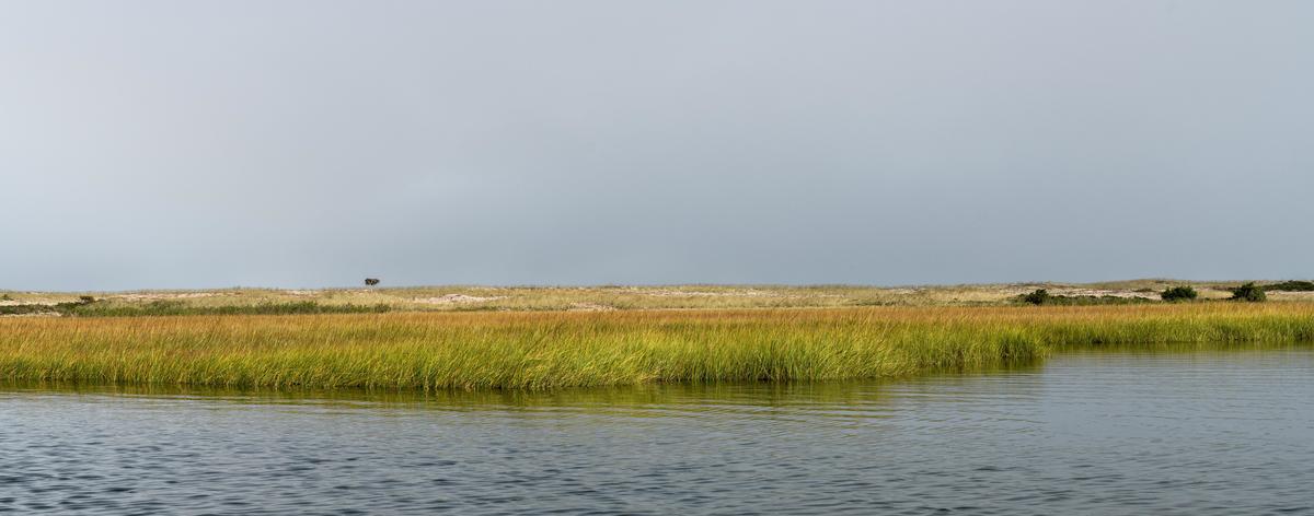 Risky that, kayaking with a good camera hung over your neck. Picked an almost calm day with little wind. A calculated risk, I suppose. Seemed worth it as I really wanted to get at this from the water, not the opposing shore.
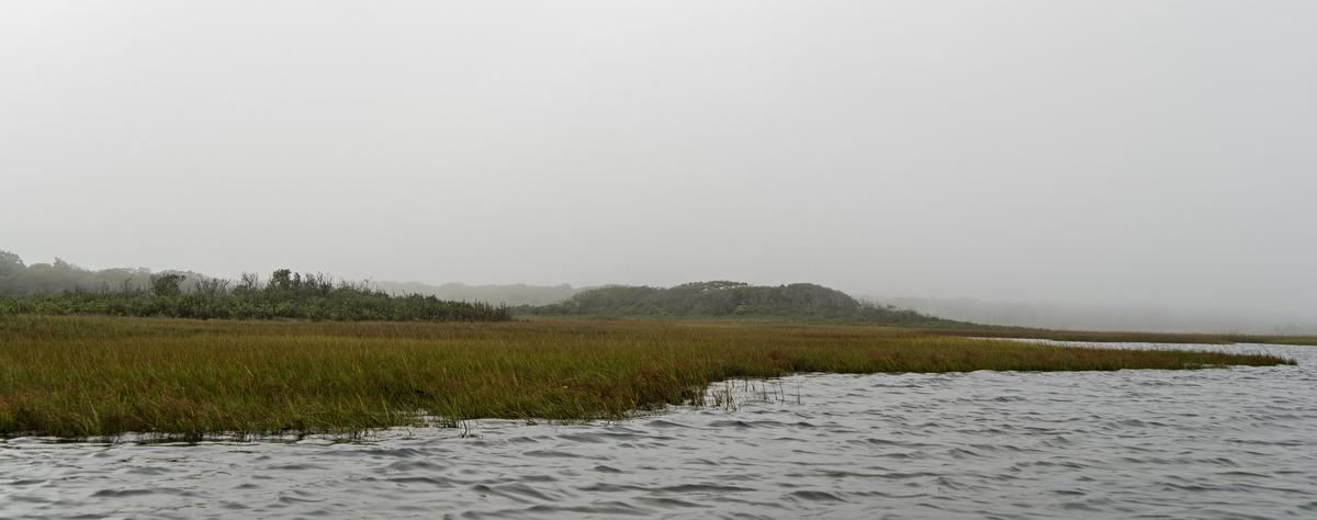
 photograph courtesy: © Lynn Christophers